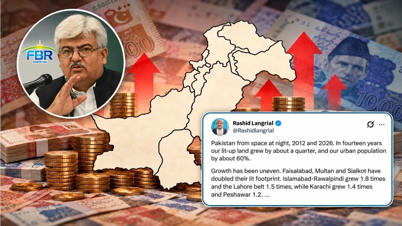
Federal Board of Revenue (FBR) Chairman has drawn attention to Pakistan's growing urban centers and outdated administrative structures, sharing satellite images comparing the country's nighttime lights in 2012 and 2026.
The post comes amid an ongoing debate over the creation of new provinces and the need to reorganize Pakistan's administrative boundaries. As cities swell and economic activity shifts, public officials and urban planners increasingly question whether current provincial lines and municipal setups can handle modern populations.
Understanding Pakistan Urban Expansion Through Satellite Data
According to the data shared in his post, Pakistan's continuously illuminated land area increased from approximately 13,259 square kilometers in 2012 to 16,876 square kilometers in 2026, representing growth of 27 percent.
The country's urban population also increased by approximately 60 percent over the same period. This massive influx of residents into metropolitan hubs creates unprecedented demand for housing, transport, sanitation, and municipal services.
Satellite observation serves as a reliable metric for tracking urban sprawl because nighttime luminosity correlates strongly with economic productivity, electrification, and built-up land use. By comparing thermal and optical night imagery across a fourteen-year span, analysts can visualize how rural and semi-urban fringes transform into continuous concrete corridors.
How Lahore And Surrounding Districts Form A New Megacity
The Grand Trunk Road Urban Belt
The satellite comparison highlights the rapid expansion of several urban centers, particularly in Punjab. Lahore, Gujranwala, and Kasur, which appeared as separate clusters of light in 2012, have expanded into a connected urban belt incorporating Sheikhupura, Muridke, and Kamoke.
The combined illuminated area of this belt increased from 1,794 square kilometers in 2012 to 2,696 square kilometers in 2026, a 1.5 times expansion. The post describes the development as a megacity taking shape along the Grand Trunk Road, with the resulting urban belt now larger than Karachi's illuminated area.
This merging of distinct municipal zones creates complex economic ties. Workers commute across district lines daily, yet public transport systems, tax collection frameworks, and police jurisdictions remain strictly partitioned by legacy boundaries.
Growth Rates Across Major Cities In Punjab And Sindh
Other Major Cities Also Expand
Faisalabad recorded the fastest expansion among the major urban centers highlighted in the comparison, with its illuminated area more than doubling from 403 square kilometers to 853 square kilometers.
Islamabad and Rawalpindi expanded 1.8 times, from 855 square kilometers to 1,498 square kilometers, while Multan's illuminated area doubled from 277 square kilometers to 550 square kilometers. Sialkot also more than doubled, growing from 154 square kilometers to 330 square kilometers.
Karachi's illuminated area increased from 1,119 square kilometers to 1,605 square kilometers, representing 1.4 times growth. Hyderabad expanded from 256 square kilometers to 334 square kilometers, while Peshawar grew from 270 square kilometers to 311 square kilometers. Quetta and Bahawalpur also recorded increases.
Governance Challenges In Fragmented Metropolitan Regions
Growing Cities Raise Questions About Governance
The FBR chairman argued that Pakistan's administrative structures have failed to keep pace with the expansion of its cities. Despite the emergence of interconnected urban centers, government institutions continue to operate along boundaries drawn around an older urban landscape.
He pointed to the Lahore urban belt, which now stretches across four districts but has no single governing authority responsible for managing the interconnected metropolitan region. Karachi, meanwhile, is divided among approximately a dozen land-owning agencies, creating a fragmented administrative structure for a city that functions as a single economic and urban center.
When multiple agencies manage overlapping territories without centralized coordination, infrastructure projects stall, waste management falters, and citizens face bureaucratic hurdles when trying to resolve basic civic issues.
The Role Of Local Governments And Bureaucratic Control
He also highlighted the governance of Punjab's cities, which, according to his post, have largely been run by appointed administrators for most of the past decade rather than through empowered local governments.
Elected municipal councils provide direct accountability to urban residents, whereas bureaucratic administrators answer primarily to provincial secretariats. Without active local bodies, urban planning decisions often lack grassroots input, leading to car-centric infrastructure, inadequate green spaces, and poorly managed zoning laws.
"The lights have merged. The state has not," the FBR chairman wrote, arguing cities will continue to expand regardless of existing government structures, but their future development will depend on whether the state adapts its governance systems to the urban centers they have become.